
The water quality of Haringvlietbrug West at Comstrijen
What is the swimming water like? Haringvlietbrug West? On the water map below you'll see the swimming location in its immediate vicinity. On the right of on this page you will find all information about the current weather, at the bottom of the swimming spots in the area.
Open the Water Map for Comstrijen in full window
The beach on the northwest side of the Haringvlietbrug lies along the westside of the A29 over the Haringvliet. The beach lies in a species bowl that is formed by a breakwater to west of the bridge and ten south of the beach.
Swimming spots nearby
2. Haringvlietbrug west: water quality is good
3. Hitsertsekade zuid-beijerland: water quality is good
4. Recreatieterrein hellegatsplein: water quality is good
The weather in Comstrijen, now:
12.8°C
Droog na motregen

Wind Force 4 bft | 11.7 Knopen | 21.6 km/h
Wind direction ZW

Today: Perioden met regen, later vandaag geleidelijk droog
Extended weather forecast for Comstrijen (click)
Swim at Haringvlietbrug West
The bathing water quality at Haringvlietbrug West is good
Last check: 22-04-2024
Facilities
Monitoring category D
Information board
Salt water
Sandy beach
Waste bins
Floatline
Water temperature
~13.6°C
Measurement time: 2 mei, 20:10(more info)
Address
Haringvlietbrug, Comstrijen
Administrator
Do you have any questions about this swimming location? Contact the administrator:
Staatsbosbeheer
info@staatsbosbeheer.nl
Phone: 0102981001
https://www.staatsbosbeheer.nl/
The water temperature value comes from the nearest official Rijkswaterstaat measuring station and is an approximation for this location. Always take local conditions into account, it is usually colder in deeper water than on the shore!
Photo
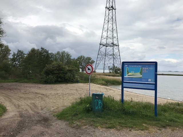 Foto: Staatsbosbeheer
Information board
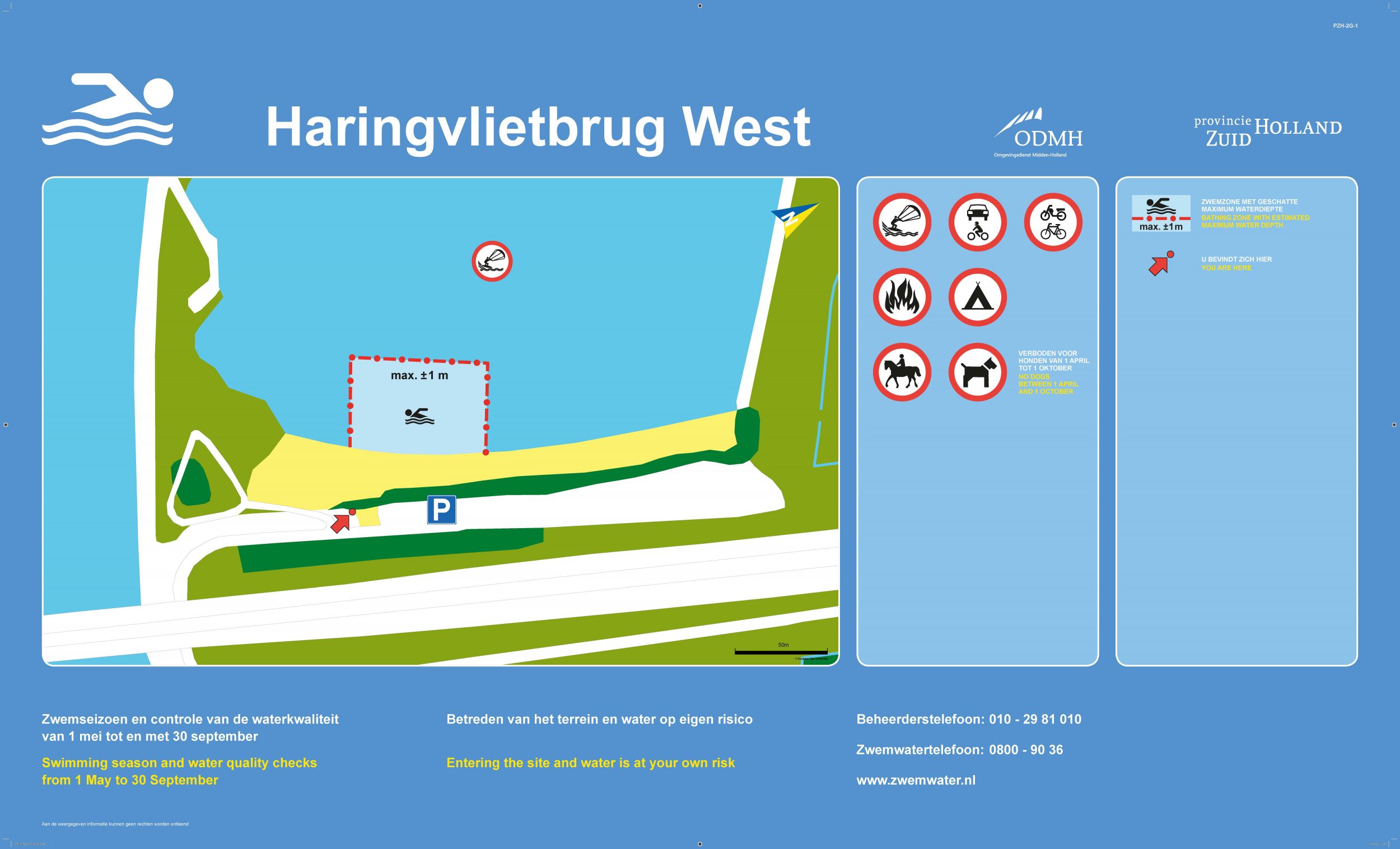
More information about this swimming location can be found at Zwemwater.nl