
The water quality of Haringvlietbrug Oost at Comstrijen
What is the swimming water like? Haringvlietbrug Oost? On the water map below you'll see the swimming location in its immediate vicinity. On the right of on this page you will find all information about the current weather, at the bottom of the swimming spots in the area.
Open the Water Map for Comstrijen in full window
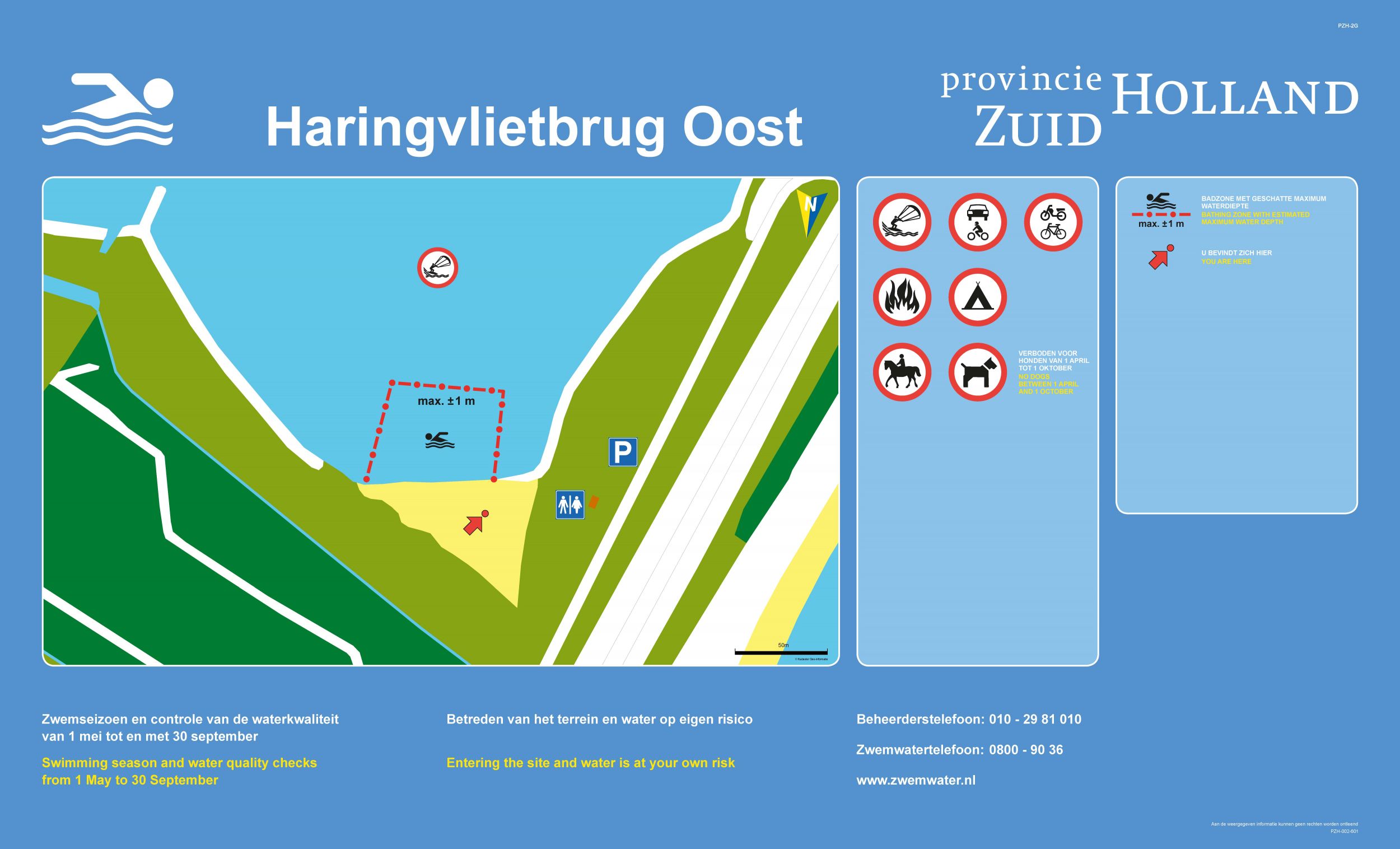
The beach on the northeast side of the Haringvlietbrug is located in a corner, with on the westside the A29 naar de Haringvlietbrug en on the northside the Westersche Bekade Gorzen. The beach is bounded with a forest edge and a ditch behind the dike, that the separation forms with the golf course behind it.
Swimming spots nearby
2. Haringvlietbrug west: water quality is good
3. Hitsertsekade zuid-beijerland: water quality is good
4. Recreatieterrein hellegatsplein: water quality is good
The weather in Comstrijen, now:
10.6°C
Geheel bewolkt

Wind Force 2 bft | 3.9 Knopen | 7.2 km/h
Wind direction NNO

Today: Enkele buien
Extended weather forecast for Comstrijen (click)
Swim at Haringvlietbrug Oost
The bathing water quality at Haringvlietbrug Oost is warning
Last check: 22-04-2024
Cause
Waarschuwing onveilige situatie
This warning applies since: 30-04-2024
Facilities
Monitoring category D
Waste bins
Floatline
Sandy beach
Bicycle shed
Water temperature
~14.3°C
Measurement time: 4 mei, 20:10(more info)
Address
Haringvlietbrug, Comstrijen
Administrator
Do you have any questions about this swimming location? Contact the administrator:
Staatsbosbeheer
info@staatsbosbeheer.nl
Phone: 0102981001
https://www.staatsbosbeheer.nl/
The water temperature value comes from the nearest official Rijkswaterstaat measuring station and is an approximation for this location. Always take local conditions into account, it is usually colder in deeper water than on the shore!
Photo
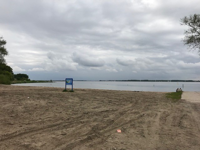 Foto: Staatsbosbeheer
Information board
More information about this swimming location can be found at Zwemwater.nl