Water levels and tides in the Netherlands: map

Rijkswaterstaat manages more than 300 water level measuring stations in the Netherlands, here you will find them together with the current measured water heights in NAP and LAT on the map.

The map contains both measuring stations the coast, in the waters of Zeeland and the Wadden, as well as in the inland waters and the major rivers. Click on an icon to view the associated measurements and graphs. If you want to see more, click through to the detail page here on waterkaart.net, where you can also check the tidal curves and the expected influence of wind and current (the design).


Open the Water Map for the whole of the Netherlands in a full window


Overview of measuring stations

See also The complete list of tide and water level stations of the Netherlands


Download the app

With the The Tides app you have the current water levels at hand anytime, anywhere. Both at tide stations and all inland waterways and rivers.

Screenshot app The Tides

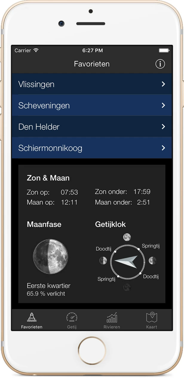
Download the app for iOS or Android.

Download The Tides for iPhone and iPad  Download The Tides for iPhone and iPad

About Water Map Live

Water Map Live is the water website and app of the Netherlands. Here you will find the most important information that you need as a nautical professional, water sports enthusiast, swimmer, water lover or weather enthusiast. Fast and complete.

Do you have good ideas or suggestions, do you want to collaborate or reuse data? Let us know, we'd love to hear from you!
 
Water Map Live for free in your website

Want to know more about Water Map Live?
Surfcheck / Waterkaart Live
Rijn en Schiekade 115 F
2311 AS Leiden (NL)
(+31) 071-2032041
Kvk: 61380431

post@waterkaart.net
 
Frequently asked questions

Download Water Map Live
 
Download Water Map Live, the app for Android   Download Water Map Live, the app for iPhone and iPad