Jachthaven Waterkant, in Dinteloord, Noord-Brabant
This is the information page of Jachthaven Waterkant, on the water map below you can see the marina in its immediate vicinity. On the right you will find the contact details and, if applicable, the website of this marina. Would you like to add more information about this marina? Let us know and we will add it!
Zoom in to see the objects
Open the Water Map for Dinteloord in full window
More marinas nearby
2. Heijningen: Jachtcentrum Dintelmond (foto)
3. Numansdorp: Marina Numansdorp (foto)
4. Numansdorp: W.S.V. Numansdorp
5. Ooltgensplaat: W.S.V. Ooltgensplaat (foto)
6. Steenbergen: Jachthaven Steenbergen
7. Willemstad: Jachthaven De Batterij (foto)
8. Willemstad: Stadshaven Willemstad (foto)
The weather in Dinteloord, now:
25.4°C
Zwaar bewolkt

Wind Force 4 bft | Knopen | 24 km/h
Wind direction W

Today: In het noorden bewolkt, in de rest van het land zonnige perioden.
Extended weather forecast for Dinteloord (click)
Continue searching
Marinas throughout the Netherlands
Marinas throughout Germany
Marinas throughout Belgium
Contact details
Jachthaven-Waterkant
Address
Sasdijk 2
4671RN Dinteloord
Phone +31619745743
Website
http://www.jachthavenwaterkant.nl
haven@waterkantbv.nl
Marina Waterkant is located on a branch of the Volkerak, the Dintelse Sas. Due to its central location, both Zeeland, South Holland and Brabant waters can be reached within a short time. The big advantage is that you are on fresh water. Your ship will grow less quickly and corrode than when you are on salt water.
Depth KP-1m/KP-2,50m. Steigers en boxen. Melden bij havenmeester.
Permanent berths: 400
Passers by places: 15
Facilities
Photo
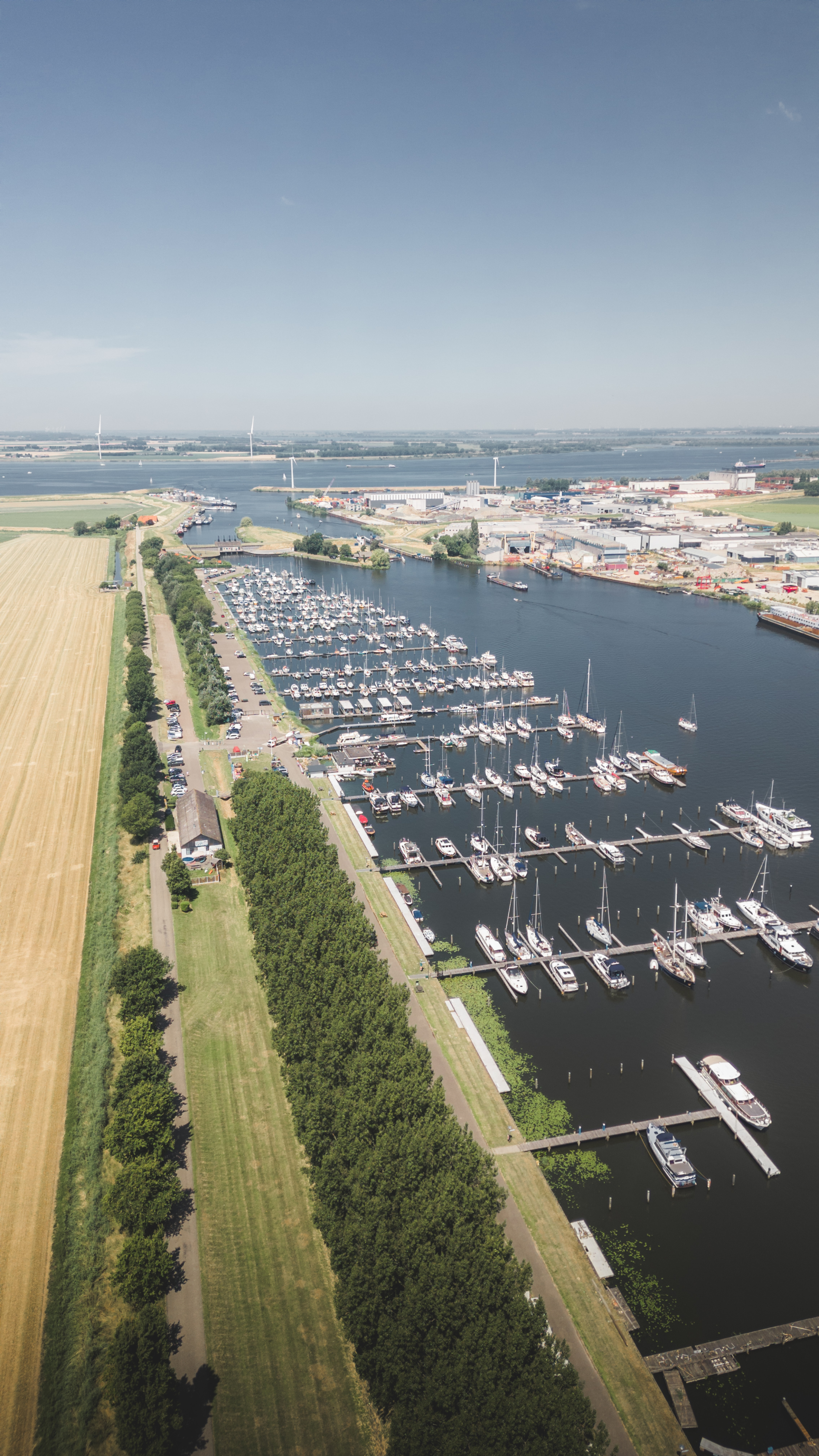 Photo: Jachthaven Waterkant