

Current water level
Water level compared to LAT: 223 cm
Measurement time: 06:10 uur
On the water map
Choose your tide station
Download the app
With the The Tides app you have the current tide data at hand anytime, anywhere.
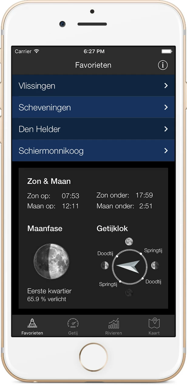
Download the app for iOS or Android.


The tide ahead Borssele
| 9 November High water at 01:57 Water level compared to NAP: 242 cm | LAT: 504 cm |
| 9 November Low water at 08:17 Water level compared to NAP: -177 cm | LAT: 85 cm |
| 9 November High water at 14:07 Water level compared to NAP: 243 cm | LAT: 505 cm |
| 9 November Low water at 20:38 Water level compared to NAP: -196 cm | LAT: 66 cm |
| 10 November High water at 02:32 Water level compared to NAP: 240 cm | LAT: 502 cm |
| 10 November Low water at 08:53 Water level compared to NAP: -182 cm | LAT: 80 cm |
| 10 November High water at 14:43 Water level compared to NAP: 247 cm | LAT: 509 cm |
| 10 November Low water at 21:12 Water level compared to NAP: -187 cm | LAT: 75 cm |
| 11 November High water at 03:07 Water level compared to NAP: 236 cm | LAT: 498 cm |
| 11 November Low water at 09:30 Water level compared to NAP: -183 cm | LAT: 79 cm |
| 11 November High water at 15:19 Water level compared to NAP: 246 cm | LAT: 508 cm |
| 11 November Low water at 21:46 Water level compared to NAP: -177 cm | LAT: 85 cm |
| 12 November High water at 03:40 Water level compared to NAP: 228 cm | LAT: 490 cm |
| 12 November Low water at 10:06 Water level compared to NAP: -180 cm | LAT: 82 cm |
| 12 November High water at 15:54 Water level compared to NAP: 238 cm | LAT: 500 cm |
| 12 November Low water at 22:19 Water level compared to NAP: -163 cm | LAT: 99 cm |
| 13 November High water at 04:12 Water level compared to NAP: 217 cm | LAT: 479 cm |
| 13 November Low water at 10:40 Water level compared to NAP: -173 cm | LAT: 89 cm |
| 13 November High water at 16:29 Water level compared to NAP: 225 cm | LAT: 487 cm |
| 13 November Low water at 22:49 Water level compared to NAP: -149 cm | LAT: 113 cm |
| 14 November High water at 04:45 Water level compared to NAP: 205 cm | LAT: 467 cm |
| 14 November Low water at 11:11 Water level compared to NAP: -165 cm | LAT: 97 cm |
| 14 November High water at 17:04 Water level compared to NAP: 209 cm | LAT: 471 cm |
| 14 November Low water at 23:18 Water level compared to NAP: -137 cm | LAT: 125 cm |
| 15 November High water at 05:20 Water level compared to NAP: 190 cm | LAT: 452 cm |
| 15 November Low water at 11:43 Water level compared to NAP: -157 cm | LAT: 105 cm |
| 15 November High water at 17:42 Water level compared to NAP: 190 cm | LAT: 452 cm |
| 15 November Low water at 23:52 Water level compared to NAP: -125 cm | LAT: 137 cm |
| 16 November High water at 06:00 Water level compared to NAP: 174 cm | LAT: 436 cm |
| 16 November Low water at 12:22 Water level compared to NAP: -149 cm | LAT: 113 cm |
| 16 November High water at 18:28 Water level compared to NAP: 170 cm | LAT: 432 cm |
| 17 November Low water at 00:36 Water level compared to NAP: -111 cm | LAT: 151 cm |
| 17 November High water at 06:51 Water level compared to NAP: 155 cm | LAT: 417 cm |
| 17 November Low water at 13:18 Water level compared to NAP: -139 cm | LAT: 123 cm |
| 17 November High water at 19:36 Water level compared to NAP: 152 cm | LAT: 414 cm |
| 18 November Low water at 01:38 Water level compared to NAP: -98 cm | LAT: 164 cm |
| 18 November High water at 08:01 Water level compared to NAP: 139 cm | LAT: 401 cm |
| 18 November Low water at 14:49 Water level compared to NAP: -136 cm | LAT: 126 cm |
| 18 November High water at 20:51 Water level compared to NAP: 148 cm | LAT: 410 cm |
| 19 November Low water at 03:23 Water level compared to NAP: -99 cm | LAT: 163 cm |
| 19 November High water at 09:17 Water level compared to NAP: 139 cm | LAT: 401 cm |
| 19 November Low water at 15:56 Water level compared to NAP: -143 cm | LAT: 119 cm |
| No astronomical forecast available |
| No setup expectation available |
Tide curve Borssele
The graph above shows the progression of the tide at Borssele see. The blue line follows the astronomical tide forecast in NAP, which is the data that you also see in the table on the left in the '10 min' column. The orange line, however, shows the astronomical forecast plus - or minus - the setup. The influences of the weather and current are therefore included, so that the orange line represents the most likely scenario. About the reference planes (NAP and LAT)
Most of the tide data you see here is shown relative to NAP (Normal Amsterdam Level). However, the measuring stations Aukfield, Europlatform, K13A and the Lichteiland Goeree give their values in MSL, Mean Sea Level, which represents the average sea level. LAT is an international reference plane and stands for Lowest Astronomical Tide. It is used as a reference plane for water depths on nautical charts. If you use this, it is best to maintain this level. LAT represents the lowest possible tide at a given location, which is only reached at highly exceptional times. Normally the water level will therefore always be above it.
A standard difference between NAP and LAT is known for each tidal location, the standard difference between NAP and LAT at Borssele is: 263 cm
Want to know more? The Wadvaarders Foundation has an interesting explanation about LAT vs. NAP on its website.
Overview of measuring stations
Map of the Netherlands